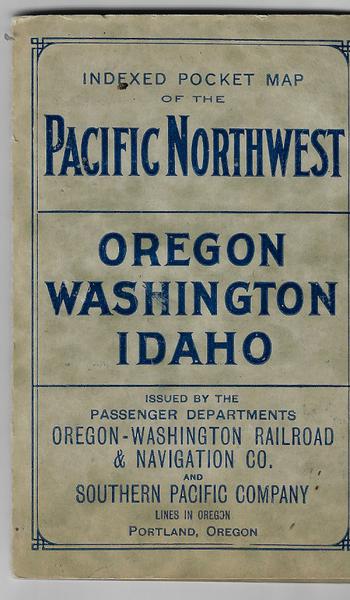
Indexed Pocket map of the Pacific Northwest - 1911

INDEXED POCKET MAP OF THE PACIFIC NORTHWEST - 1911
Oregon – Washington Railroad & Navigation Co. Southern Pacific Company – Lines in Oregon. INDEXED POCKET MAP OF THE PACIFIC NORTHWEST – OREGON – WASHINGTON – IDAHO. Portland, Oregon. Also some portions of Montana. 1911. Lg. colored folding map 58 X 53 cm. The border headline of the map states THE NORTHWEST PRESENTS THE GREATEST OPPORTUNITIES FOR HOMEBUILDERS OF ANY PORTION OF THE UNITED STATES. Within the bottom border is printed “FOR FRUIT, GRAIN, LIVESTOCK, LUMBER AND MINERALS, THE TERRITORY EMBRACED IN THIS MAP IS UNEQUALED.” The map itself is very complete with the identification of mountain ranges, waterways, states divided into individual named counties, railroads both present and projected, major lakes, etc. On the inside of the front cover is a promotional for the Automatic Block Signal stating “Five Million Dollars have been expended by the great system of railroads comprising the Oregon-Washington Railroad & Navigation Co., Oregon Short Line, Union Pacific and Southern Pacific establishing this Block Signal System to protect its patrons and insure safe traveling.”On verso is a complete index to the map. Very minor chips and separations, overall in vg cond.
