
MANITOBA OFFICIAL GOVERNMENT ROAD MAP 1939-1940
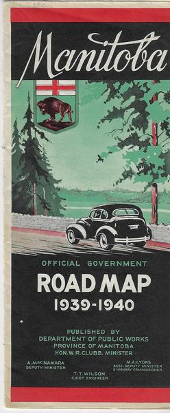
MANITOBA OFFICIAL GOVERNMENT ROAD MAP 1939-1940. Pub. by Dept, of Public Works. 6 pg. double foldout. Distance from Winnipeg to important Canadian and U.S. Centres; Index to Cities, Towns and Villages. Historic sites of Manitoba; Provincial Trunk highways, photos. Back map is of Manitoba plus one small panel map of Manitoba. Vg cond.