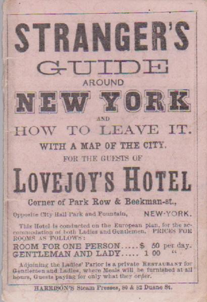
Stranger's Guide Around New York ... Gold Regions of Kansas and Nebraska

GOLD REGIONS MAP
STRANGER’S GUIDE AROUND NEW YORK AND HOW TO LEAVE IT. WITH A MAP OF THE CITY FOR THE GUESTS OF LOVEJOY’S HOTEL. Harrison’s Steam Presses. Nd. C. 1860. On the reverse side of the Lovejoy’s Hotel map is a map titled THE SHORTEST AND ONLY DIRECT LINE TO ST. LOUIS, HANNIBAL, QUINCY, ST. JOSEPH, FORT LEAVENWORTH, KANSAS CITY, JEFFERSON CITY, COUNCIL BLUFFS, OMAHA CITY, CHERRY CREEK, PIKE’S PEAK AND THE GOLD REGIONS OF KANSAS AND NEBRASKA. Map of the Toledo, Wabash, Gt. Western Rail Road Line. This pull out map, 11 ¾ x 7 inches, is identical to the Samuel R. Olmstead map of 1859 with the exception being the information at the top and bottom of this map. Minor wear, overall in vg cond.


