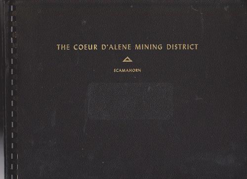
The Coeur d'Alene Mining District As Seen Through The Aerial Camera...

(Idaho - Mining) Scamahorn, Eugene D. THE COEUR d'ALENE MINING DISTRICT AS SEEN THROUGH THE AERIAL CAMERA OF . . Spokane, WA: Scamahorn Air Photo Co. Spokane. 1948. 95 pgs. 48 photo plates, 1 map. Original limp pebbled black cloth comb-binder, gilt lettering stamped on front cover. w/ presentation label on verso of title from R.E. Nelson & Co., member of the Spokane Stock Exchange. First edition of this aerial photographic survey documenting the mines, mills, and mining towns in northern Idaho as a promotional piece to boost investment in the mines following World War II. The Coeur d’Alene mining district featured at the time the richest silver mine in the world, the deepest lead mines, the nation’s largest underground hoist, in an area which had produced over 1 billion dollars worth of metals. These well-labeled and sharp photos include the Highland Surprise, the Sidney Mine, Nabob Mine, Lookout Mountain Mine, Smelterville, Bunker Hill Smelter, Kellogg, City of Kellogg, the Sunshine Mine, the Polaris Mines, the Polaris Mill, Vulcan Silver Led Corp., Silverton, the Hecla Mine, Wallace, ID, the Golconda Mill and Mine, and more. Scamahorn (1916-2005) immigrated in the 1920s with his family from Illinois to Spokane, and enlisted in the U.S. Army in 1943, graduated Flying School in 1943, became a captain by 1945, served in the National Guard as a Major from 1947 through the Korean War, and operated a small photography studio in Spokane from 1947 through 1956 according to city directories. Vg cond.

