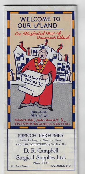
Vancouver Island - Maps of Saanich, Malahat and Victoria Business Section. - 1935

(Canada - British Columbia) WELCOME TO OUR ISLAND. AN ILLUSTRATED MAP OF VANCOUVER ISLAND INCLUDING MAPS OF SAANICH, MALAHAT AND VICTORIA BUSINESS SECTION. The Island Blue Print & Map Co. Victoria, B.C. 1935. 6 page double foldout. Advertisements. Joseph B. Davenport, mapmaker. The map shows the southern-most portion of Vancouver Island featuring the city of Victoria and the port of Nanaimo, with ferry service to Vancouver on the mainland and Port Angeles in the U.S. Map depicts animal and bird life, recreational and sport activities, main roads, and shipping and auto ferry lanes. It is surrounded by 14 advertisements for Vancouver and Seattle businesses, while verso features approximately 30 advertisements for local businesses as well as two maps, one of the business center of Victoria and the other of the Saanich Peninsula, with ferry service to mainland destinations. No WorldCat listing has been located. vg cond.
